Introduction This course comprises 10 modules, each with their own…
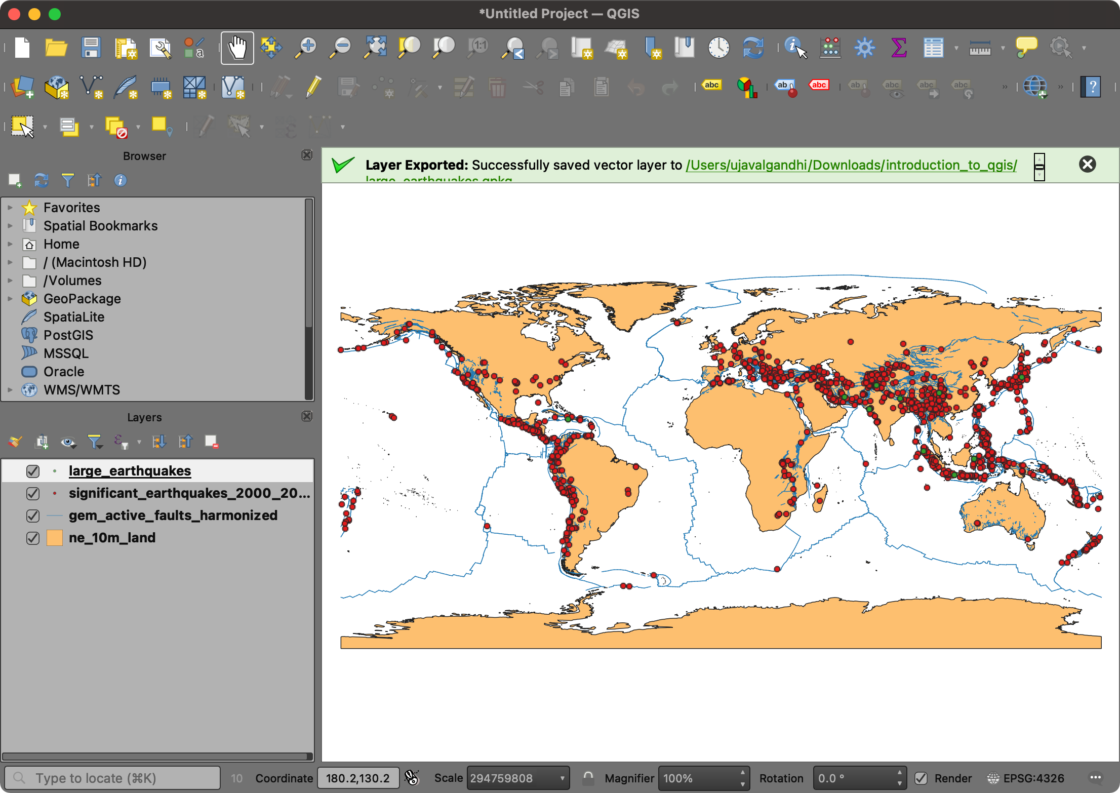
GIS Mapping and Spatial Data Analysis using QGIS
Introduction Geographic information systems are used in infrastructure management, project…
GIS and Remote Sensing in Multi Hazard Early Warning Systems
Introduction Develop the capacity of professionals to design, manage, evaluate…
GIS and Remote Sensing in Climate Change, Food Security and Agriculture
Introduction The main objective of the course is to enhance the…
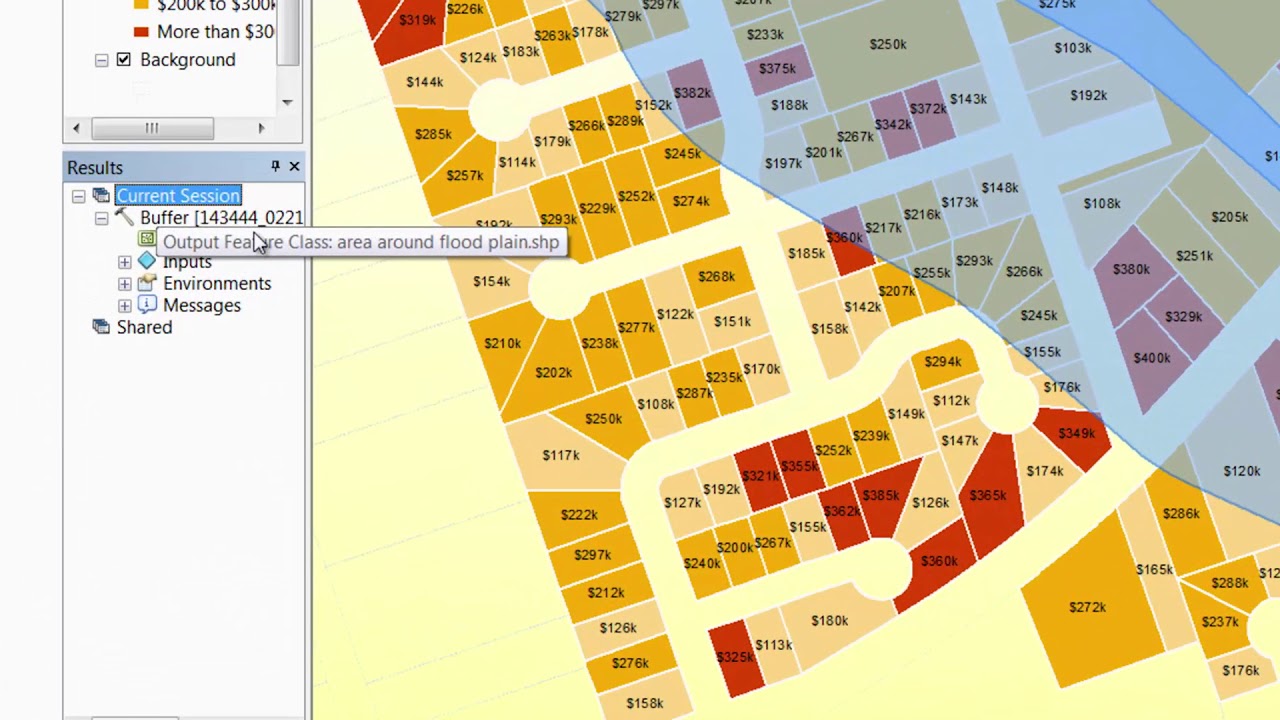
GIS Mapping and Spatial Analysis using ArcGIS
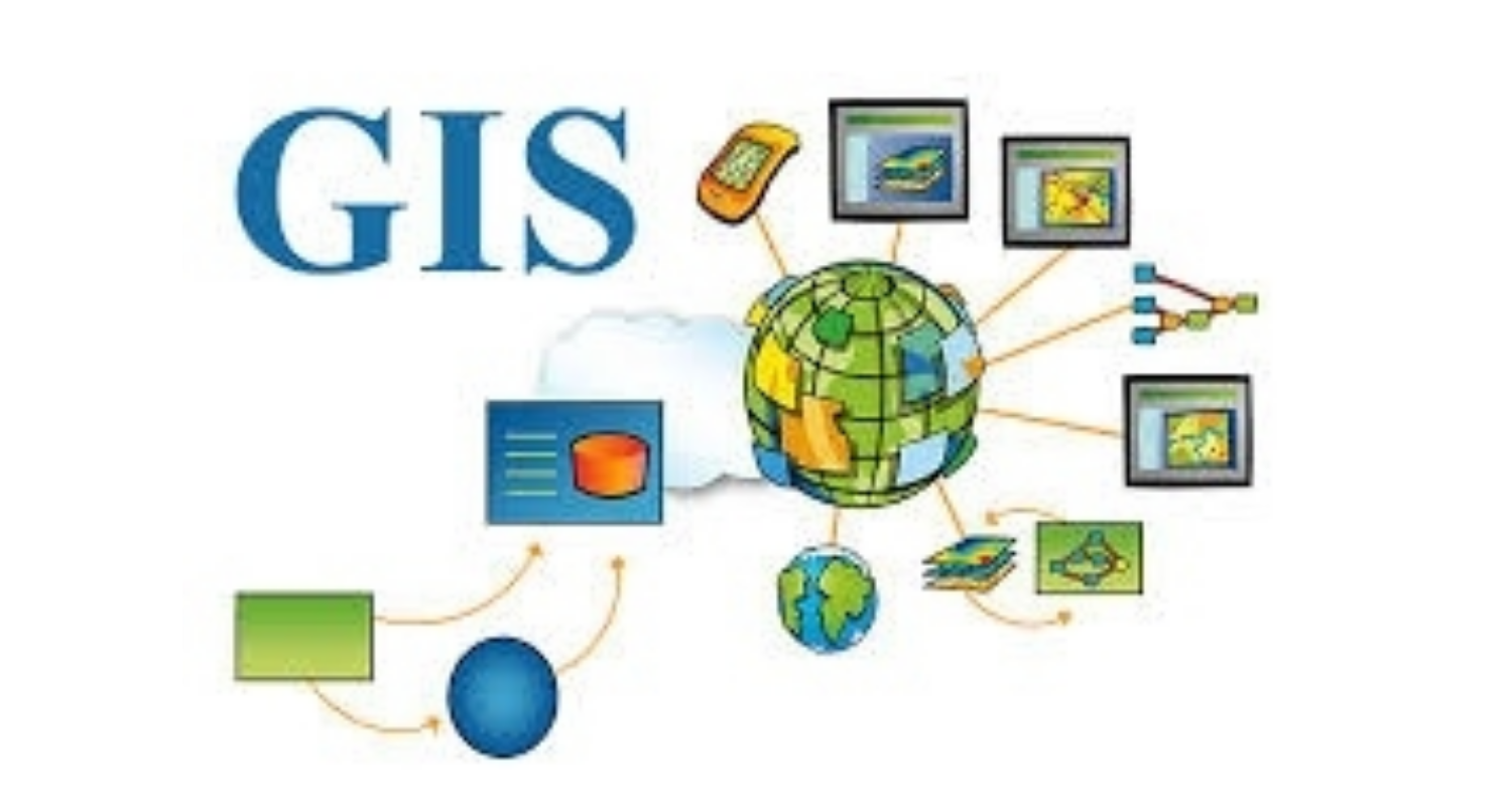
Introduction GIS is a system designed to capture, store, manipulate,…


